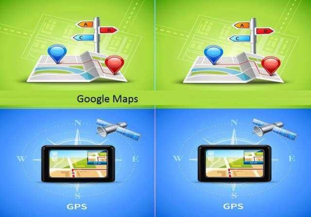
We keep going from one place to another. Sometimes we plan to go to a place which we have never seen. Wherever we go by road, by plane, by train or by bicycle or on foot, we sometimes use ‘Google maps’. Google Maps tells us the route, kilometer, difference, time, traffic, petrol pump, hotel, the position of our vehicle, everything. And that to live.
Google has done a lot of work on this application for drivers driving thousands of kilometers and lovers of traveling by road. But earlier there was a problem with it that it could not run without internet. But 4 years ago from today, Google combined this application with the coordinate of the direct satellite.
And today we can use this app even without the internet. Now, once you have set your route by starting the internet or you have downloaded the map of a specific region, then you will not need the internet.
Now some people also complained that the routes are very long in Google Maps. So Google solved it by giving the option of an alternate route.
But how was Google able to do all this? There is a technology behind it, whose name is – G.P.S. Then let’s know G.P.S. About this.
G.P.S. What is? (What is G.P.S.?)
G.P.S. It means Global Positioning System. G.P.S. Is a satellite-based navigation system that is also used to locate the place or thing. If you want to find a route, then you will have to specify the starting point and destination point. G.P.S. The minimum is prepared by 24 satellites. And he keeps working 24 hours in any weather.
The G.P.S. system was first used by the US Army in 1960. In which there was no map like today. Then everything was seen from the satellite image. In the year 1980, the use of this technology for common citizens started. Then G.P.S. Device-based. Totally different from today’s software and mobile applications.
Nowadays, most of the use of G.I.S (Geographic information system) technology is done. In which many different types of data are shown on the same map. As you search any one place in Google Map, then you will be given many types of information like Route, Traffic, Street, Hotels, Petrol Pump, etc.
G.P.S. How does it work? (G.P.S.- How does it work?)
G.P.S. The system consists of 19,300 K.M. above the flatness of the Earth. 24 satellites are released above. Which completes one revolution of the Earth every 12 hours. That means 11,200 K.M. in an hour. cuts the difference. Now, whenever you G.P.S. When activated, the radio signal from your device is received by the satellite revolving above you.
It does the mapping and rebounds to that device. And in this way, your position is detected. And together with the applications, you have G.P.S. Permission to use the data would have been given and it would also go to them. So when you don’t need it, you can register your G.P.S. Keep it closed There is no chance of losing the signal?
G.P.S. A satellite transmits a message. In which its place, time, and area are included. G.P.S. The receiver maps the transmissions of 3-4 satellites to form a clear image. The receiver requires 3 satellites to determine the location. But the combination of 4 satellites is the best because it gives a more perfect location.
And there is no chance of losing the signal. G.P.S. For the device to function properly, it has to be connected to the satellite. Tracking and navigation will be best in the device whose internet frequency is high. So instead of mobile and smartwatch, the G.P.S. of the car. Will do the mapping correctly.
G.P.S. Some interesting facts about satellite
- G.P.S. The United States Department of Defense’s given name for the monitoring system is NAVSTAR (“navigation signal timing and ranging” or “navigation satellite timing and ranging”).
- The first G.P.S. satellite was launched in the year 1978.
- In the year 1994, 24 satellites were operational.
- A G.P.S. satellite weighs about 900 K.G. it happens. Its area is 17 feet with solar panels.
- Each satellite is operational for about 10 years. After that it is replaced.
- The transmitter is powered by a voltage of 50 V or less.
- Although the satellite runs on solar energy, but it also has a battery backup to work during the solar eclipse.
- The G.P.S. was first used in the Army by the USA.
- G.P.S. First installed in the automobile in 1996.
G.P.S. And what is the difference between navigation?
Whenever we open Google Map, an arrow appears on the bottom side. Which shows the direction. As we move forward, that arrow also moves forward. Meaning that navigation gives you direction and G.P.S. Shows you your location. Earlier mobile had a separate application for navigation. Then it merged with Google Maps.
G.P.S. system
- More G.P.S. in the world The system is classified as GNSS (Global Navigation Satellite System).
- GLONASS RUSSIA MANUFACTURED BY G.P.S. is system.
- The ‘Galileo’ GNSS system has been developed by the European Agency.
- Beidou (BDS) is a Chinese satellite navigation system.
- The Indian Regional Navigation Satellite System (IRNSS) which is officially known as ‘NAVIC’ (Navigation with Indian Constellation). This is India’s satellite navigation system.


